

Data Becomes More Valuable When You Know Where It Happens
Every day, businesses generate and analyze massive amounts of information: customer orders, deliveries, assets, vehicles, branches, suppliers, field technicians, and much more.
However, one critical factor often goes unnoticed—and it has the power to completely transform how organizations interpret their data: location.
Knowing what is happening is important. Knowing where it is happening enables smarter, faster, and more strategic decisions.
This is where a Geographic Information System (GIS) comes into play.
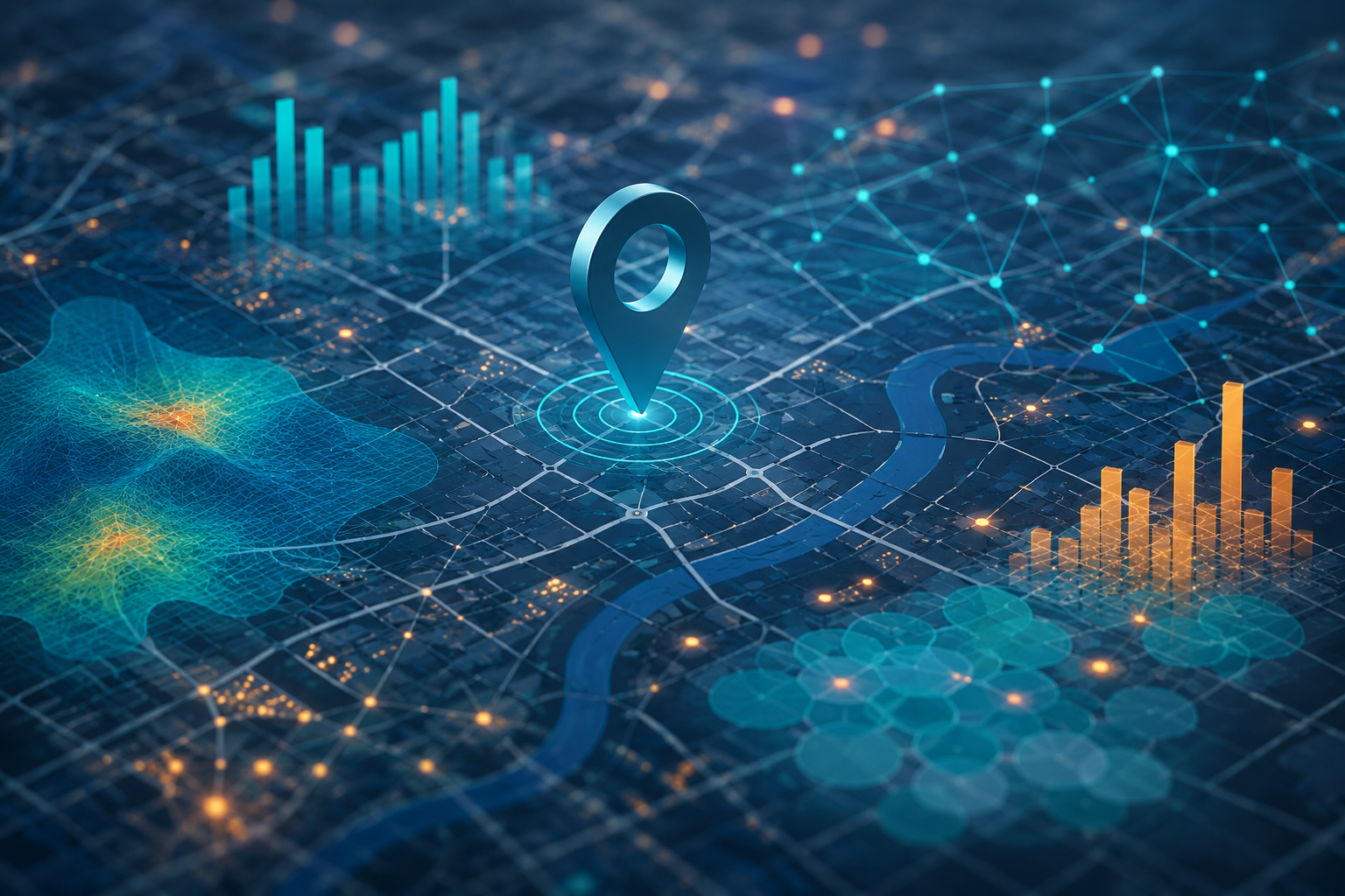
Although many people associate GIS with digital maps, it is much more than that. A GIS combines geographic information with business data to analyze patterns, optimize operations, and uncover opportunities that would be difficult to identify using spreadsheets or traditional dashboards alone.
Today, organizations across industries—including logistics, retail, telecommunications, utilities, insurance, government, and digital platforms—use GIS technology to improve operational efficiency and make data-driven decisions.
What Is a GIS?
A Geographic Information System (GIS) is a technology that enables organizations to collect, manage, visualize, and analyze data linked to geographic locations.
In other words, it transforms scattered information into geographic insights, making it easier to understand relationships, identify patterns, and answer critical business questions.
For example:
- Where are my customers located?
- Which areas generate the highest demand?
- What is the most efficient route for deliveries?
- Where should we open a new branch or service center?
- Which assets require priority maintenance?
A GIS answers these questions through interactive maps while integrating spatial information with operational data to provide deeper business insights.
The map is no longer just a visualization—it becomes a powerful decision-making tool.
Why Should Businesses Care About Geospatial Intelligence?
For many years, GIS technologies were mainly associated with mapping agencies, urban planning, and government organizations.
Digital transformation has changed that.
Today, almost every business works with location-based data, whether they realize it or not.
Every customer address, delivery, retail store, service technician, vehicle, warehouse, or point of sale contains geographic information that can be leveraged to improve business performance.
By incorporating geospatial intelligence into daily operations, organizations can transform location data into actionable insights.
Key Benefits of GIS for Businesses
Optimize Logistics Operations
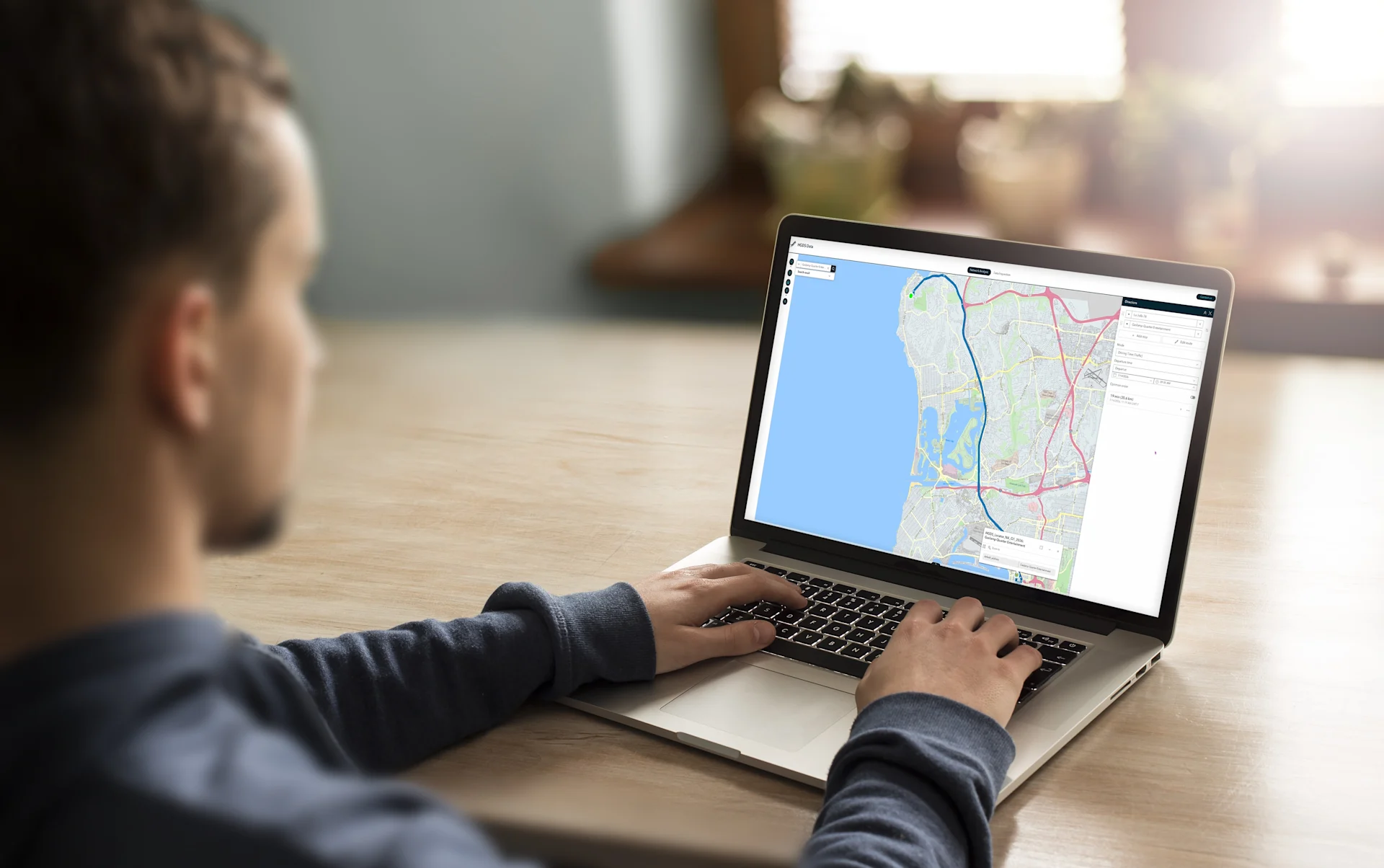
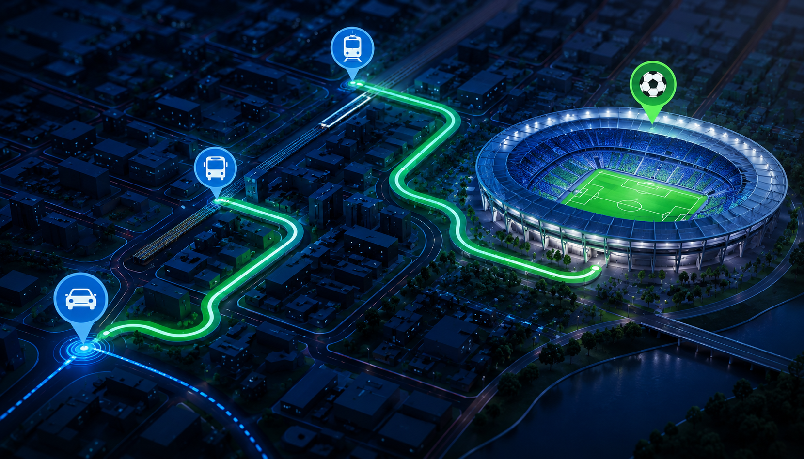
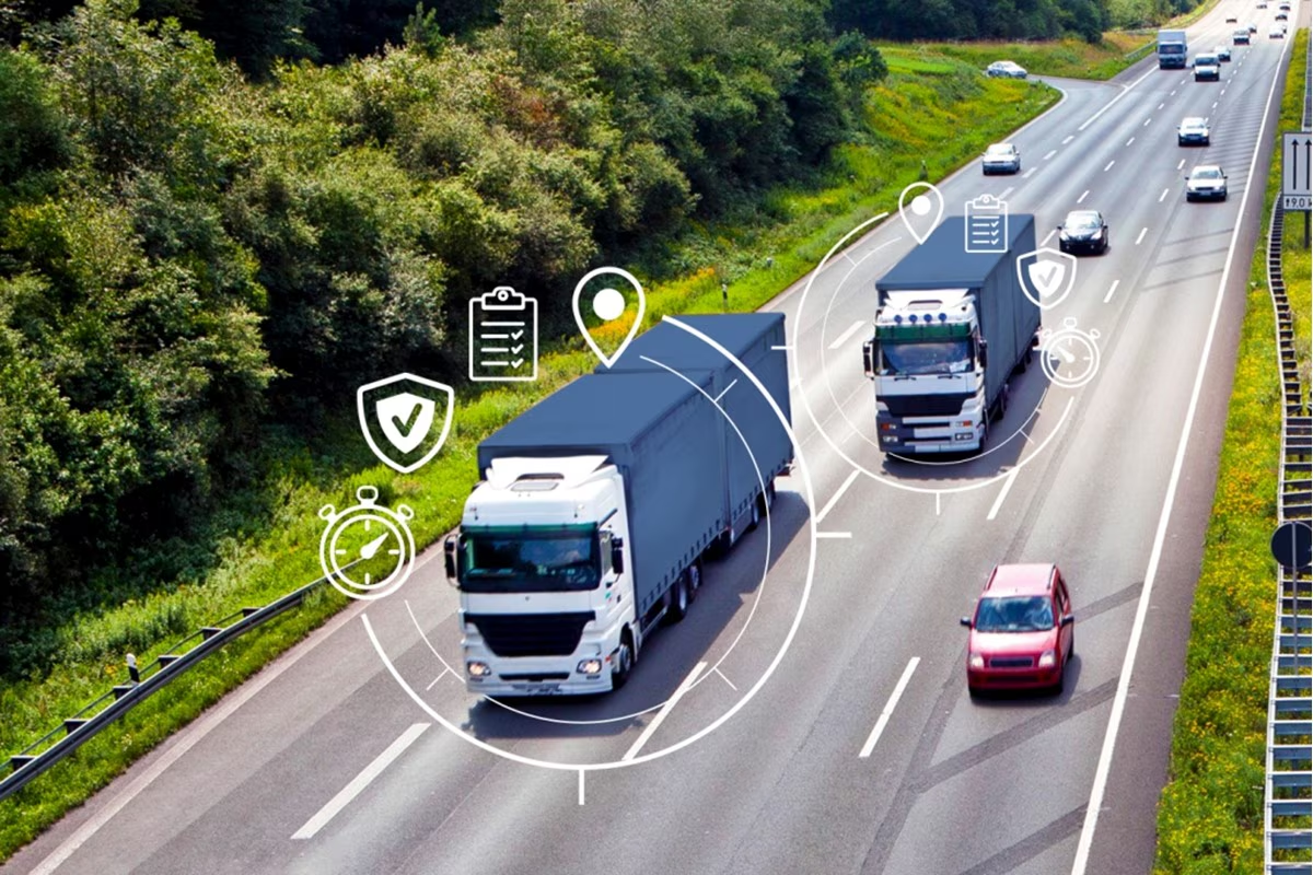
One of the most common applications of GIS is route optimization.
By analyzing variables such as travel distances, traffic conditions, road restrictions, and estimated travel times, businesses can reduce operational costs, shorten delivery times, and improve customer satisfaction.
This is especially valuable for companies managing delivery fleets, field services, or last-mile logistics.
Better Understand Customers and Markets
Visualizing customers on a map helps organizations identify service areas, demand concentrations, and growth opportunities.
These insights support more informed business decisions based on real geographic data rather than assumptions.
Improve Data-Driven Decision Making
When geographic information is integrated with operational metrics, businesses can identify patterns that traditional reports often fail to reveal.
For example, organizations can:
- Detect areas with higher service requests or claims.
- Analyze branch or network coverage.
- Identify operational bottlenecks.
- Evaluate geographic risks.
Manage Assets More Efficiently
Companies responsible for infrastructure, equipment, vehicles, or utilities can easily locate their assets, optimize maintenance schedules, and improve operational efficiency.
The result is faster response times and more productive field operations.
The Role of HERE in Modern GIS Solutions
An effective Geographic Information System depends on accurate, reliable, and continuously updated location data.
This is where HERE Technologies plays a key role.
As one of the world's leading Location Intelligence platforms, HERE provides the technologies organizations need to build powerful GIS solutions.
Its capabilities include:
- Address geocoding
- High-quality digital maps
- Intelligent routing
- Real-time traffic information
- Distance and travel time matrices
- Route optimization with Tour Planning
- Custom map visualization
- APIs and SDKs for enterprise applications
These capabilities enable organizations to develop location-based solutions across industries such as logistics, mobility, retail, utilities, financial services, and the public sector.
How Marker Helps Organizations Unlock the Value of Location Data
At Marker, we help organizations across Latin America integrate geospatial intelligence into their operations through solutions powered by HERE Technologies.
Our team supports every stage of the process—from identifying business needs to implementing technology—integrating capabilities such as geocoding, routing, custom mapping, and location services into our clients' existing systems.
Our goal goes beyond displaying information on a map.
We help businesses transform location data into better decisions.
Location Is a Strategic Business Asset
Location is no longer just an additional layer of information—it has become a competitive advantage.
Organizations that leverage geospatial intelligence can optimize operations, improve customer experiences, reduce costs, and uncover new business opportunities.
Understanding what a GIS is represents the first step toward unlocking the full value of location data.
At Marker, we help organizations transform geographic information into smarter business decisions through solutions powered by HERE Technologies.
Interested in learning how geospatial intelligence can support your business? Our team is ready to help you identify the right solution for your needs.