HERE Map
Rendering API
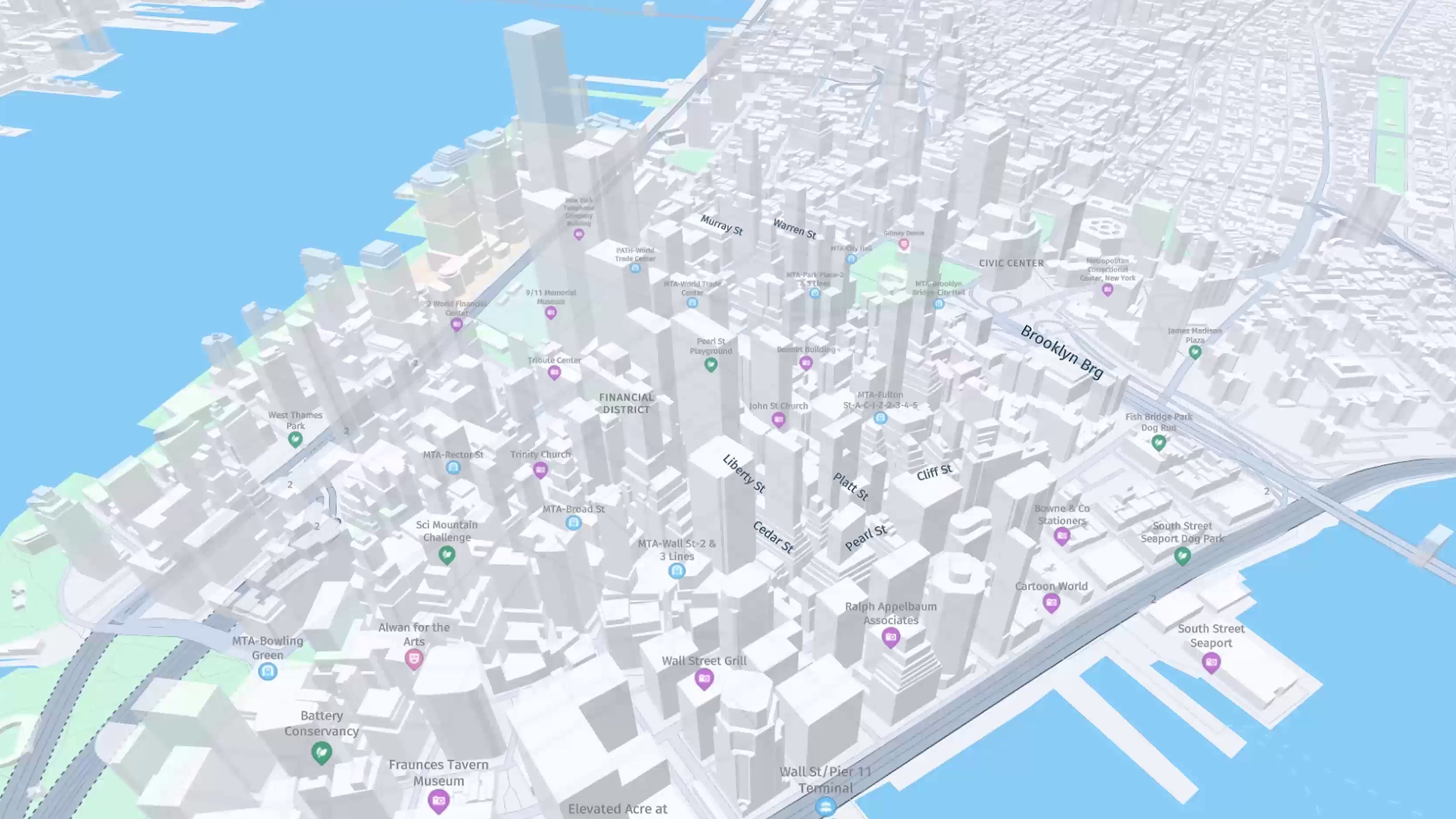
It allows you to visualize location data on interactive, accurate and updated maps for operations, territorial analysis and mobility.
Request demo
Advanced geospatial visualization
Visualization Engine and Interactive Maps
Vector maps
Clear and scalable representation of geographic data.
Custom styles
Map design aligned with the identity of each company.
Thematic covers
Visualization of zones, assets and operational variables.
Real-time data
Integration of traffic, fleets and events.
Maps for analysis
and operation
Corporate Visualization
Turn business data into visual information to make better decisions.
.png)
Other services
Discover our specialized solutions for geolocating, planning, routing
Are you ready to start?
Start your free trial today.
Request demo


.jpg)


.png)