

Discover how Mercado Libre uses spatial analysis to transform geographic information into insights that support commercial and operational decision-making.
When Data Has a Location
Organizations generate enormous amounts of information every day. A significant portion of that data has a geographic component that, when analyzed effectively, can become a strategic business tool.
Location makes it possible to understand where certain opportunities are concentrated, how operations are distributed, which areas show greater potential, and how different phenomena behave across a territory.
For organizations operating at scale, turning this information into actionable insights requires the ability to analyze, visualize, and share geographic data efficiently.
This was one of the challenges faced by Mercado Libre.
The Challenge: Scaling Spatial Analysis
With operations across multiple countries and millions of users, Mercado Libre needed to scale spatial analysis and facilitate access to geographic information for different teams across the organization.
The main challenges included:
- Identifying commercial expansion opportunities.
- Democratizing access to spatial analysis.
- Facilitating collaboration between different areas.
- Optimizing operations and coverage.
The challenge was not simply having access to geographic data, but being able to turn it into useful information to support concrete business decisions.
The Solution: Location Intelligence Integrated into the Business
To address this challenge, Mercado Libre incorporated CARTO, a platform specialized in Location Intelligence and spatial analysis.
The adoption of CARTO made it possible to transform geographic data into strategic information to support commercial and operational decisions.
With these capabilities, teams were able to:
Identify Growth Opportunities
Spatial analysis makes it possible to identify areas with greater demand potential and uncover new expansion opportunities.
Make Better Use of Location Data
Existing geographic information can become a valuable input for new analyses, providing a more comprehensive understanding of the territory.
Scale Spatial Analysis
Working with large volumes of geographic data in an agile and scalable way makes it possible to expand the use of spatial analysis without unnecessarily increasing complexity.
Share Information Across Teams
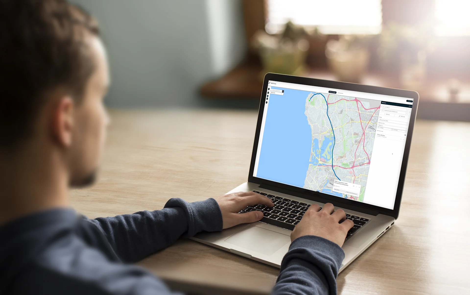
Interactive maps and geographic information facilitate access to data and foster collaboration between different areas of the organization.
What Did CARTO Make Possible?
The adoption of spatial analysis capabilities made it possible to address different business needs and transform geographic information into more precise and actionable insights.
Among the key possibilities were:
- Identifying areas with greater demand potential and new growth opportunities.
- Facilitating access to updated geographic information to improve collaboration and decision-making.
- Analyzing large volumes of geographic data in an agile, efficient, and scalable way.
- Integrating and enriching geographic information to generate more precise and actionable insights.
The case shows how spatial analysis can move beyond being a tool used exclusively by specialized teams and become a resource that supports decision-making across different areas of an organization.
From Understanding the Territory to Business Decisions
Location Intelligence can be applied to a wide range of business needs.
In Mercado Libre's case, spatial analysis can contribute to challenges related to:
Retail
Identifying new locations and analyzing areas of influence.
Logistics
Route planning, coverage, and operations.
Financial Services
Territorial analysis and risk assessment.
Telecommunications
Infrastructure planning and coverage expansion.
In all these cases, the geographic dimension adds a layer of information that helps organizations better understand where phenomena occur and how they are distributed across a territory.
A Partnership Bringing Location Intelligence to the Region
At Marker, we are an Exclusive Partner of CARTO in Argentina, Chile, Uruguay, and Paraguay.
Through this partnership, we combine the power of CARTO's platform with our regional expertise to support organizations in adopting Location Intelligence and spatial analysis solutions.
These capabilities can help companies:
- Discover growth opportunities.
- Optimize operations.
- Improve territorial planning.
- Make data-driven decisions.
Location Is Also a Strategic Data Point
The Mercado Libre case shows that geographic data can provide much more than a representation on a map.
When location information is integrated into business analysis, it can help identify opportunities, optimize operations, improve territorial planning, and accelerate decision-making.
Location Intelligence thus makes it possible to add a new dimension to data analysis: understanding not only what is happening, but also where it is happening.
Want to Explore the Potential of Location Intelligence for Your Organization?
Discover how Marker and CARTO can help you transform geographic data into strategic decisions.
👉 Request a demo with our specialists.